RAND Solution

Challenge
The vulnerability of coastal residents to loss of life and property damage from storm-surge flooding has proven extensive in recent years. Rising sea levels and loss of coastal wetlands will likely increase with the danger of tropical storms and hurricanes. And changing climate patterns could make large and powerful storms more common. Although these changes are deeply uncertain and difficult to predict, policymakers cannot afford to ignore them.
Context
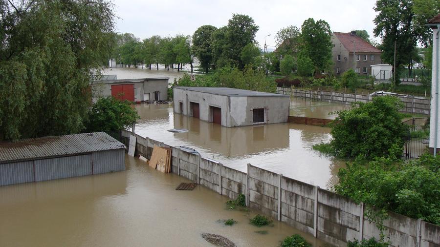
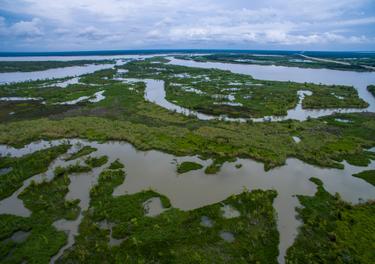
Some of the most valuable and productive areas of the United States are in low-lying coastal areas vulnerable to storm surges and flooding. The population in these areas continues to grow. Climate change is increasing sea levels, likely making dangerous storms more frequent and intensifying the effect of storm surges. These incidents have compounded the problem of coastal vulnerability in areas like the Atlantic Seaboard and the Gulf Coast.
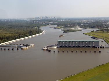
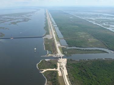
Spurred by Hurricanes Katrina and Rita in 2005, the State of Louisiana, through its Coastal Protection and Restoration Authority (CPRA), decided to systematically address its coastal challenges by developing a Comprehensive Master Plan for a Sustainable Coast. The CPRA recognized it had hundreds of potential projects to consider, myriad stakeholders with competing interests and objectives, and significant uncertainties regarding climate change.
“We developed the plan by building world class science and engineering expertise into our decisions, so we could focus our resources wisely.”
website of the 2012 Coastal Master Plan
Project Description
The CPRA first asked RAND to develop a planning tool and decision framework to develop and compare different risk-reduction and restoration projects.
Having worked with RAND on the planning tool, the CPRA then asked the researchers to develop a hurricane flood risk model to assess the effects of projects designed to reduce damage from flooding. The Coastal Louisiana Risk Assessment (CLARA) model evaluated and compared risk-reduction projects for inclusion in the 2012 Master Plan by estimating flood depths and damage depending on what action the state had taken to reduce damages.
RAND later updated the 2012 planning tool and CLARA model to support development of the 2017 Coastal Master Plan.
Research Questions
- Could an interactive planning tool help decisionmakers better understand their options and the tradeoffs involved?
- What mix of hurricane risk-reduction and coastal restoration projects can reduce hurricane damage risk and rebuild coastal land, recognizing budget constraints?
- What is the estimated flood risk under various proposed projects, taking into account a wide range of future uncertainties?
Key Findings & Recommendations
- The Planning Tool RAND developed for the CPRA enabled stakeholders and policymakers to interact with the data and visualize their policy options and potential results.
- The subsequent Coastal Louisiana Risk Assessment (CLARA) model showed that Louisiana can significantly reduce hurricane flood risk and stabilize its coastal landscape under favorable future assumptions by implementing a 50-year, $50-billion comprehensive master plan:
- The master plan would significantly reduce flood risk under either moderate or less favorable environmental scenarios.
- Under moderate assumptions, the plan would stop the loss of coastal land by 2040 and lead to land growth after that; under less optimistic assumptions, land loss would continue but at a significantly slower rate.
- The updated 2017 Planning Tool provided improved modeling data about how the coast might evolve and the effects of different risk-reduction and restoration projects, as well as a richer set of analytic visualizations.
- CPRA and its stakeholders worked with the Planning Tool to develop and compare alternatives, helping inform their choice for the final set of projects in the 50-year plan.
Impact
State planners used the interactive visualizations in the Planning Tool to build a comprehensive communications strategy and educate a broad array of stakeholders and decisionmakers about the robustness of the solutions RAND offered. RAND’s contributions were instrumental in the development of a 50-year coastal master plan to reduce flood risk and damage and restore coastal lands.
The analytic infrastructure that RAND helped set into place, including the Planning Tool and the CLARA model, helped CPRA take steps to secure long-term funding, refine its near-term implementation strategy, and adapt the master plan over time.
The Louisiana state legislature unanimously adopted the $50 billion master plan in May 2012 and the updated master plan in June 2017. Implementation of the 2017 plan will begin with a $644 million allocation toward coastal restoration projects.
RAND experts are now helping New York, New Jersey, and vulnerable regions around the world prioritize and reduce future flood risks and achieve greater resilience to confront future disasters.
“The modeling approach … is viewed across the world as a model for science-based coastal decisionmaking.”
website of the 2017 Coastal Master Plan
